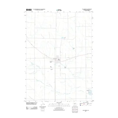
2011 Map of Hay Springs
USGS Topo · Published 2011About this map
Hay Springs serves as the central hub of this High Plains landscape in Sheridan County, Nebraska. The town is situated at the intersection of several key rural routes, including Road 46 and Beaver Rd, and is anchored by the Hay Springs Post Office. This map reflects the essential infrastructure of a rural agricultural community, where water management is critical, evidenced by the presence of Davis Reservoir, Davis Dam, and Linden Dam to the north of town.
Find a feature on this map
19 named features on this map. Tap any name to fly to it.
Don’t see what you’re looking for? This feature index may not catch every label — zoom into the map to look around manually.
Map Details
Editions of this 2011 Hay Springs Map
This is the sole edition of this map. No revisions or reprints were ever made.
Other maps of this area

1955 · Alliance
USGS Topo · 1:250,000

1957 · Alliance
USGS Topo · 1:250,000

1958 · Alliance
USGS Topo · 1:250,000

1960 · Hay Springs SW
USGS Topo · 1:24,000

1960 · Hay Springs SE
USGS Topo · 1:24,000

1966 · Chadron 3 SE
USGS Topo · 1:24,000

1966 · Hay Springs NE
USGS Topo · 1:24,000

1966 · Hay Springs
USGS Topo · 1:24,000

1966 · Chadron 3 NE
USGS Topo · 1:24,000

1969 · Bordeaux
USGS Topo · 1:24,000