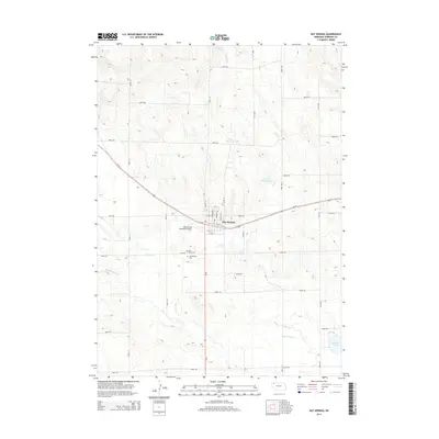
2014 Map of Hay Springs
USGS Topo · Published 2014About this map
Hay Springs serves as the central hub of this Sheridan County landscape, where the intersection of Us-20 and Ne-87 anchors the local transportation network. The town's grid is clearly defined by streets such as N Chambers St and S 2nd St, while the surrounding agricultural lands are partitioned by a rigorous system of rural roads like 570th Rd and 450th Ln. This 2014 survey documents a region where water management is vital to the prairie economy, evidenced by Davis Reservoir and Linden Reservoir to the north and the larger Walgren Lake in the southeast corner.
Find a feature on this map
35 named features on this map. Tap any name to fly to it.
Don’t see what you’re looking for? This feature index may not catch every label — zoom into the map to look around manually.
Map Details
Editions of this 2014 Hay Springs Map
This is the sole edition of this map. No revisions or reprints were ever made.
Other maps of this area

1955 · Alliance
USGS Topo · 1:250,000

1957 · Alliance
USGS Topo · 1:250,000

1958 · Alliance
USGS Topo · 1:250,000

1960 · Hay Springs SW
USGS Topo · 1:24,000

1960 · Hay Springs SE
USGS Topo · 1:24,000

1966 · Chadron 3 SE
USGS Topo · 1:24,000

1966 · Hay Springs NE
USGS Topo · 1:24,000

1966 · Hay Springs
USGS Topo · 1:24,000

1966 · Chadron 3 NE
USGS Topo · 1:24,000

1969 · Bordeaux
USGS Topo · 1:24,000