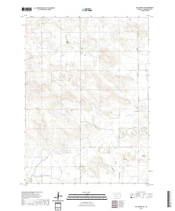
2021 Map of Hay Springs SW
USGS Topo · Published 2021About this map
Spring Cr winds through this section of Sheridan County, illustrating the vital water management systems that define the Nebraska panhandle's agricultural landscape. The map shows a sophisticated network of irrigation infrastructure, including the Mirage Flats Canal and several distribution channels such as the Sturgeon Lateral, Fairfield Lateral, and Peters Lateral. These features highlight the region's historical reliance on engineering to manage surface water for ranching and farming. The presence of Dorshorst Reservoir in the eastern portion of the survey further emphasizes this relationship with the semi-arid environment. The local road system, anchored by Walgren Lake Rd and Pepper Creek Rd, follows the section lines of the Public Land Survey System, reflecting the orderly settlement pattern of the High Plains.
Find a feature on this map
26 named features on this map. Tap any name to fly to it.
Don’t see what you’re looking for? This feature index may not catch every label — zoom into the map to look around manually.
Map Details
Editions of this 2021 Hay Springs SW Map
This is the sole edition of this map. No revisions or reprints were ever made.
Other maps of this area

1947 · Box Butte NE
USGS Topo · 1:24,000

1949 · Box Butte NE
USGS Topo · 1:24,000

1950 · Skunk Lake
USGS Topo · 1:62,500

1955 · Alliance
USGS Topo · 1:250,000

1957 · Alliance
USGS Topo · 1:250,000

1958 · Alliance
USGS Topo · 1:250,000

1960 · Hay Springs SW
USGS Topo · 1:24,000

1960 · Hay Springs SE
USGS Topo · 1:24,000

1966 · Chadron 3 SE
USGS Topo · 1:24,000

1966 · Hay Springs NE
USGS Topo · 1:24,000