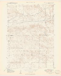
1949 Map of Box Butte NE
USGS Topo · Published 1949About this map
Niobrara River winds across the high plains of northwest Nebraska, carving a shallow valley through the sandy tablelands at the intersection of Dawes, Sheridan, and Box Butte counties. This 1940s landscape is defined by the early development of water management, visible in the Irrigation Canal and numerous Windmills scattered across the township sections. These small-scale water improvements supported a sparse ranching economy where distances between landmarks were significant.
Find a feature on this map
11 named features on this map. Tap any name to fly to it.
Don’t see what you’re looking for? This feature index may not catch every label — zoom into the map to look around manually.
Map Details
Editions of this 1949 Box Butte NE Map
2 editions found

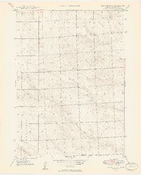
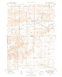
Other maps of this area
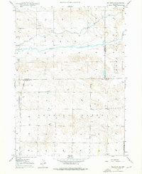
1947 · Box Butte NE
USGS Topo · 1:24,000

1947 · Box Butte
USGS Topo · 1:24,000

1947 · Box Butte NW
USGS Topo · 1:24,000
1949 · Box Butte SW
USGS Topo · 1:24,000

1949 · Box Butte
USGS Topo · 1:24,000
1949 · Box Butte NW
USGS Topo · 1:24,000

1950 · Skunk Lake
USGS Topo · 1:62,500

1955 · Alliance
USGS Topo · 1:250,000

1957 · Alliance
USGS Topo · 1:250,000

1958 · Alliance
USGS Topo · 1:250,000