
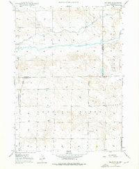
1947 Map of Box Butte
USGS Topo · Published 1977About this map
Box Butte Creek meanders through the landscape of the western High Plains, serving as the primary drainage for this area of Box Butte and Running Water. The terrain is characterized by distinctive formations like Wild Horse Butte and the eponymous Box Butte, providing essential landmarks for local navigation. The 1947 survey data, updated with aerial revisions in 1976, illustrates a sparsely populated agricultural region where social life centered around rural education at School No 15 and School No 46. Numerous windmills are marked across the townships, indicating the importance of groundwater for sustaining the cattle ranching and farming operations that define the rural economy in this corner of Nebraska.
Find a feature on this map
9 named features on this map. Tap any name to fly to it.
Don’t see what you’re looking for? This feature index may not catch every label — zoom into the map to look around manually.
Map Details
Editions of this 1947 Box Butte Map
This is the sole edition of this map. No revisions or reprints were ever made.
Other maps of this area

1946 · Berea Creek East
USGS Topo · 1:24,000
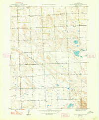
1947 · Box Butte NE
USGS Topo · 1:24,000

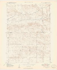
1947 · Box Butte NW
USGS Topo · 1:24,000

1948 · Berea Creek West
USGS Topo · 1:24,000
1948 · Berea Creek East
USGS Topo · 1:24,000

1948 · Antioch
USGS Topo · 1:62,500
1949 · Box Butte NE
USGS Topo · 1:24,000
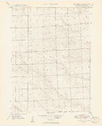
1949 · Box Butte SW
USGS Topo · 1:24,000

1949 · Antioch
USGS Topo · 1:62,500

1949 · Box Butte
USGS Topo · 1:24,000