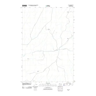
2011 Map of Hay
USGS Topo · Published 2011About this map
Alkali Flat Creek and Mud Flat Creek converge near the small community of Hay, where the local road network bridges these drainages in a landscape defined by rolling uplands and high points like Beacon Hill and Magee Hill. In this portion of Whitman County, the 2011 topography reveals a rural pattern of isolated settlements and named agricultural features such as Rye Field. These small population clusters, including Shreck and Jerita, are connected by a system of gravel and paved routes like Hay LaCrosse Rd and Jerita Rd, tracing the paths of long-standing regional transit. The intersection of these creeks and the surrounding elevations suggests a traditional ranching or farming economy that has persisted through the decades, maintaining names that serve as landmarks for local history and genealogy research.
Find a feature on this map
18 named features on this map. Tap any name to fly to it.
Don’t see what you’re looking for? This feature index may not catch every label — zoom into the map to look around manually.
Map Details
Editions of this 2011 Hay Map
This is the sole edition of this map. No revisions or reprints were ever made.
Other maps of this area

1948 · Starbuck
USGS Topo · 1:62,500

1950 · La Crosse
USGS Topo · 1:62,500

1950 · Starbuck
USGS Topo · 1:62,500

1950 · Hay
USGS Topo · 1:62,500

1950 · Benge
USGS Topo · 1:62,500

1952 · Hay
USGS Topo · 1:62,500

1952 · La Crosse
USGS Topo · 1:62,500

1952 · Benge
USGS Topo · 1:62,500

1953 · Walla Walla
USGS Topo · 1:250,000

1955 · Pullman
USGS Topo · 1:250,000