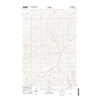
2013 Map of Hay
USGS Topo · Published 2013About this map
Hay sits at the junction of several rural corridors in Whitman County, serving as a focal point for the surrounding agricultural landscape. The geography is defined by a network of drainage features and named elevations, including the prominent Beacon Hill and Magee Hill. Watercourses like Alkali Flat Cr and Mud Flat Cr wind through the township lines, illustrating the natural irrigation patterns of this inland region.
Find a feature on this map
28 named features on this map. Tap any name to fly to it.
Don’t see what you’re looking for? This feature index may not catch every label — zoom into the map to look around manually.
Map Details
Editions of this 2013 Hay Map
This is the sole edition of this map. No revisions or reprints were ever made.
Other maps of this area

1948 · Starbuck
USGS Topo · 1:62,500

1950 · La Crosse
USGS Topo · 1:62,500

1950 · Starbuck
USGS Topo · 1:62,500

1950 · Hay
USGS Topo · 1:62,500

1950 · Benge
USGS Topo · 1:62,500

1952 · Hay
USGS Topo · 1:62,500

1952 · La Crosse
USGS Topo · 1:62,500

1952 · Benge
USGS Topo · 1:62,500

1953 · Walla Walla
USGS Topo · 1:250,000

1955 · Pullman
USGS Topo · 1:250,000