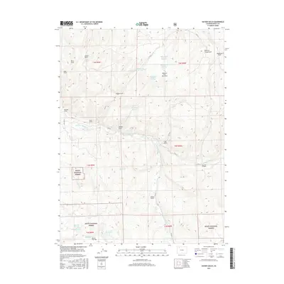
2016 Map of Hayden Gulch
USGS Topo · Published 2016About this map
The Williams Fork Mountains dominate this high-country landscape, where a sophisticated network of water management features supports the high desert environment. The presence of numerous engineered water bodies, such as Sedimentation Pond HG-1 Reservoir and its companion reservoirs Sedimentation Pond HG-3 Reservoir through Sedimentation Pond HG-5 Reservoir, points to significant land-use or industrial activity requiring sediment control along the slopes of Hayden Gulch.
Find a feature on this map
46 named features on this map. Tap any name to fly to it.
Don’t see what you’re looking for? This feature index may not catch every label — zoom into the map to look around manually.
Map Details
Editions of this 2016 Hayden Gulch Map
This is the sole edition of this map. No revisions or reprints were ever made.
Other maps of this area

1916 · Daton Peak
USGS Topo · 1:62,500

1920 · Daton Peak
USGS Topo · 1:62,500

1924 · Mt. Harris
USGS Topo · 1:48,000

1926 · Mount Harris
USGS Topo · 1:62,500

1954 · Craig
USGS Topo · 1:250,000

1957 · Craig
USGS Topo · 1:250,000

1958 · Craig
USGS Topo · 1:250,000

1960 · Craig
USGS Topo · 1:250,000

1962 · Craig
USGS Topo · 1:250,000

1964 · Craig
USGS Topo · 1:250,000