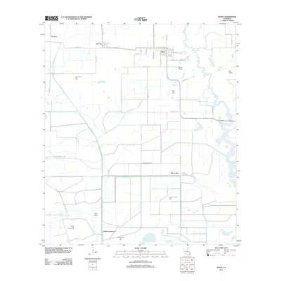
2012 Map of Hayes
USGS Topo · Published 2012About this map
The settlement of Hayes and the nearby Bell City anchor this 2012 survey of the Calcasieu Parish lowlands. The landscape is defined by an intricate network of drainage and industrial infrastructure, including the Bell City Drainage Canal and Morgan Canal, alongside the meandering Bayou Lacassine. The region's economy is clearly centered on energy extraction and agriculture, evidenced by numerous named petroleum sites such as the North Chalkey Gas Field, South Bell City Gas Field, and the Lacassine Refuge Oil Field.
Find a feature on this map
38 named features on this map. Tap any name to fly to it.
Don’t see what you’re looking for? This feature index may not catch every label — zoom into the map to look around manually.
Map Details
Editions of this 2012 Hayes Map
This is the sole edition of this map. No revisions or reprints were ever made.
Other maps of this area

1932 · Lake Charles NE
USGS Topo · 1:31,680

1932 · Lake Charles SE
USGS Topo · 1:31,680

1934 · Lake Misere
USGS Topo · 1:24,000

1934 · Boudreaux Lake
USGS Topo · 1:24,000

1934 · Latania Lake
USGS Topo · 1:24,000

1935 · Lake Misere
USGS Topo · 1:31,680

1935 · Latania Lake
USGS Topo · 1:31,680

1935 · Boudreaux Lake
USGS Topo · 1:31,680

1942 · Lake Charles
USGS Topo · 1:62,500

1946 · Lacassine
USGS Topo · 1:31,680