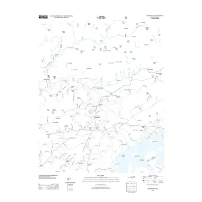
2013 Map of Hayesville
USGS Topo · Published 2013About this map
Hayesville serves as the focal point of this Clay County landscape, where the Hiwassee River winds through a valley defined by significant water resources and mountain ridges. The southern portion of the map is dominated by the sprawling reaches of Chatuge Lake, featuring prominent landforms like Penland Island and Jackrabbit Mountain. This area reflects a balance of small-town settlement and managed forest lands, with road networks like Us 64 Bus connecting the central hub to outlying communities such as Shewbird and Tusquitee.
Find a feature on this map
234 named features on this map. Tap any name to fly to it.
Don’t see what you’re looking for? This feature index may not catch every label — zoom into the map to look around manually.
Map Details
Editions of this 2013 Hayesville Map
This is the sole edition of this map. No revisions or reprints were ever made.
Other maps of this area

1886 · Dahlonega
USGS Topo · 1:125,000

1892 · Dahlonega
USGS Topo · 1:125,000

1896 · Dahlonega
USGS Topo · 1:125,000

1903 · Dahlonega
USGS Topo · 1:125,000

1935 · Peachtree
USGS Topo · 1:24,000

1935 · Osborn
USGS Topo · 1:24,000

1935 · Shooting Creek
USGS Topo · 1:24,000

1935 · Topton
USGS Topo · 1:24,000

1935 · Marble
USGS Topo · 1:24,000

1935 · Wayah Bald
USGS Topo · 1:48,000