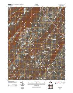
2010 Map of Hayfield
USGS Topo · Published 2010About this map
Great North Mountain and its many ridges dominate the landscape west of Hayfield, where the Hayfield Post Office serves as a central landmark. The area is defined by a series of parallel ridges including Flint Ridge, Hunting Ridge, and Little North Mountain, which channel the flow of Hogue Creek and Opequon Creek. Settlement is concentrated in small communities and named locales such as Shawnee Land, Rosenberger, and Mount Williams. Industrial activity is evident in the northern reaches at the Unimin Tailings Dam near Fresh Water Pond. Genealogists will find significant value in the distribution of family-named landmarks and burial grounds, such as Mount Olive Cemetery, Wisecarver Cemetery, and the Lamps Memorial Church Cemetery, which are scattered throughout the valley floors and gaps.
Find a feature on this map
117 named features on this map. Tap any name to fly to it.
Don’t see what you’re looking for? This feature index may not catch every label — zoom into the map to look around manually.
Map Details
Editions of this 2010 Hayfield Map
This is the sole edition of this map. No revisions or reprints were ever made.
Other maps of this area

1894 · Winchester
USGS Topo · 1:125,000

1914 · Gerrardstown
USGS Topo · 1:48,000

1916 · Gerrardstown
USGS Topo · 1:62,500

1916 · Capon Bridge
USGS Topo · 1:62,500

1923 · Middletown
USGS Topo · 1:62,500

1923 · Capon Bridge
USGS Topo · 1:62,500

1937 · Capon Bridge
USGS Topo · 1:48,000

1937 · Gerrardstown
USGS Topo · 1:48,000

1937 · Middletown
USGS Topo · 1:48,000

1938 · Winchester
USGS Topo · 1:48,000