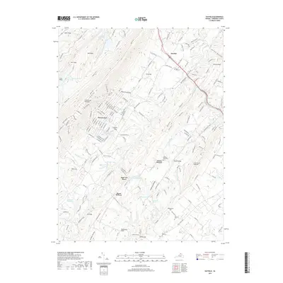
2019 Map of Hayfield
USGS Topo · Published 2019About this map
Great North Mountain and the surrounding ridges of the Blue Ridge dominate this portion of Frederick County, where the dense mountain trails of Shawneeland meet the rural valleys of the Shenandoah. The terrain is defined by a series of parallel heights, including Cove Ridge, Sand Ridge, and Flint Ridge, which create a complex network of hollows and runs. Along the Northwestern Pike, the settlement of Hayfield serves as a local hub near Mount Olive Cem.
Find a feature on this map
185 named features on this map. Tap any name to fly to it.
Don’t see what you’re looking for? This feature index may not catch every label — zoom into the map to look around manually.
Map Details
Editions of this 2019 Hayfield Map
This is the sole edition of this map. No revisions or reprints were ever made.
Other maps of this area

1894 · Winchester
USGS Topo · 1:125,000

1914 · Gerrardstown
USGS Topo · 1:48,000

1916 · Gerrardstown
USGS Topo · 1:62,500

1916 · Capon Bridge
USGS Topo · 1:62,500

1923 · Middletown
USGS Topo · 1:62,500

1923 · Capon Bridge
USGS Topo · 1:62,500

1937 · Capon Bridge
USGS Topo · 1:48,000

1937 · Gerrardstown
USGS Topo · 1:48,000

1937 · Middletown
USGS Topo · 1:48,000

1938 · Winchester
USGS Topo · 1:48,000