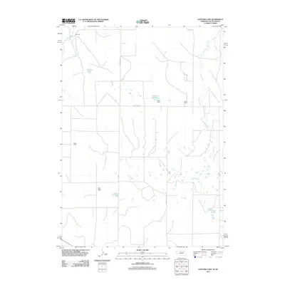
2011 Map of Hayford Lake
USGS Topo · Published 2011About this map
Hayford Lake serves as a central landmark in this portion of Keya Paha County, where the landscape is defined by the headwaters and drainage of several prairie streams. The area is characterized by large agricultural holdings and traditional Western ranching infrastructure, evidenced by the presence of Rose Valley Ranch and the MF Ranch. Water management is a critical feature of this high-plains environment, as shown by the Worth Reservoir and its associated Worth Dam situated along Turkey Creek Rd. The drainage network is further mapped through the wandering courses of Lost Creek and Shadley Creek, which navigate the open terrain between cattle ranch operations. This survey documents the rural road grid and hydrology before more recent shifts in land use or environmental changes occurred.
Find a feature on this map
12 named features on this map. Tap any name to fly to it.
Don’t see what you’re looking for? This feature index may not catch every label — zoom into the map to look around manually.
Map Details
Editions of this 2011 Hayford Lake Map
This is the sole edition of this map. No revisions or reprints were ever made.
Other maps of this area

1950 · Norden
USGS Topo · 1:62,500

1950 · Huddle Table
USGS Topo · 1:24,000

1952 · Norden
USGS Topo · 1:62,500

1955 · Martin
USGS Topo · 1:250,000

1955 · Mitchell
USGS Topo · 1:250,000

1955 · O'Neill
USGS Topo · 1:250,000

1957 · Valentine
USGS Topo · 1:250,000

1958 · Martin
USGS Topo · 1:250,000

1959 · Valentine
USGS Topo · 1:250,000

1959 · O'Neill
USGS Topo · 1:250,000