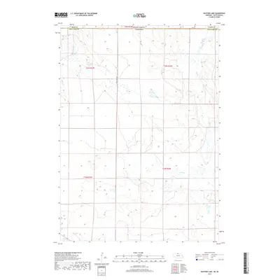
2017 Map of Hayford Lake
USGS Topo · Published 2017About this map
Hayford Lake and the high plains of the Nebraska-South Dakota border define this 2017 topographic study. Situated along the boundary between Keya Paha County and Tripp County, the landscape is characterized by intermittent wetlands and small catchments typical of the Sandhills transition. The presence of Worth Reservoir suggests a reliance on water management for ranching and livestock in this sparsely settled region. The map details the Section-Township-Range grid that organizes this vast agricultural terrain, showing the precise placement of windbreaks and rural access roads that connect isolated properties across the state line.
Find a feature on this map
2 named features on this map. Tap any name to fly to it.
Don’t see what you’re looking for? This feature index may not catch every label — zoom into the map to look around manually.
Map Details
Editions of this 2017 Hayford Lake Map
This is the sole edition of this map. No revisions or reprints were ever made.
Other maps of this area

1950 · Norden
USGS Topo · 1:62,500

1950 · Huddle Table
USGS Topo · 1:24,000

1952 · Norden
USGS Topo · 1:62,500

1955 · Martin
USGS Topo · 1:250,000

1955 · Mitchell
USGS Topo · 1:250,000

1955 · O'Neill
USGS Topo · 1:250,000

1957 · Valentine
USGS Topo · 1:250,000

1958 · Martin
USGS Topo · 1:250,000

1959 · Valentine
USGS Topo · 1:250,000

1959 · O'Neill
USGS Topo · 1:250,000