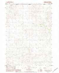
1983 Map of Hayford Lake
USGS Topo · Published 1984About this map
The expansive ranching country of the Great Plains is charted here along the state line where Tripp Co and Keya Paha Co meet. The landscape is defined by the drainage systems of Shadley Creek and Lost Creek, which cut through the undulating terrain of northern Nebraska and southern South Dakota. Centered on Hayford Lake, the survey documents a region defined by large-scale agricultural operations rather than dense settlements. Evidence of the local ranching economy is prominent, with named sites such as Mf Ranch in the northwest, Worth Ranch to the east, and Rose Valley Ranch further south. These family-named landmarks serve as the primary hubs of activity in a sparse environment where water sources like the lake and its surrounding intermittent streams dictate the placement of improvements and travel routes across the border.
Find a feature on this map
8 named features on this map. Tap any name to fly to it.
Don’t see what you’re looking for? This feature index may not catch every label — zoom into the map to look around manually.
Map Details
Editions of this 1983 Hayford Lake Map
This is the sole edition of this map. No revisions or reprints were ever made.
Other maps of this area

1950 · Norden
USGS Topo · 1:62,500

1950 · Huddle Table
USGS Topo · 1:24,000

1952 · Norden
USGS Topo · 1:62,500

1955 · Martin
USGS Topo · 1:250,000

1955 · Mitchell
USGS Topo · 1:250,000

1955 · O'Neill
USGS Topo · 1:250,000

1957 · Valentine
USGS Topo · 1:250,000

1958 · Martin
USGS Topo · 1:250,000

1959 · Valentine
USGS Topo · 1:250,000

1959 · O'Neill
USGS Topo · 1:250,000