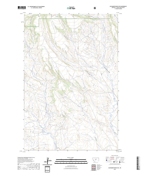
2024 Map of Haymaker Ranch SW
USGS Topo · Published 2024About this map
Lewis & Clark National Forest anchors the northern boundary of this central Montana landscape, where the high plains transition into the foothills. The drainage pattern is defined by a dense network of coulees and creeks that carve through the Wheatland County terrain. Major waterways like Daisy Dean Creek and its tributary, Dry Fork Daisy Dean Creek, cut through the western sections, while the eastern reaches are marked by Trombone Creek and the long descent of Clarks Fork Morrisy Coulee. The topography reveals a land primarily shaped by seasonal water runoff, with features like Bornhart Coulee and Iron Springs Coulee illustrating the erosional history of the region. This survey captures a modern look at the open ranch lands and the complex hydrological network that supports the local cattle industry and wildlife habitats on the edge of the national forest.
Find a feature on this map
15 named features on this map. Tap any name to fly to it.
Don’t see what you’re looking for? This feature index may not catch every label — zoom into the map to look around manually.
Map Details
Editions of this 2024 Haymaker Ranch SW Map
This is the sole edition of this map. No revisions or reprints were ever made.
Other maps of this area

1886 · Little Belt Mts.
USGS Topo · 1:250,000

1894 · Little Belt Mts.
USGS Topo · 1:250,000

1897 · Little Belt Mts.
USGS Topo · 1:250,000

1898 · Little Belt Mts.
USGS Topo · 1:250,000

1902 · Little Belt Mts.
USGS Topo · 1:250,000

1948 · White Sulphur Springs
USGS Topo · 1:250,000

1958 · White Sulphur Springs
USGS Topo · 1:250,000

1961 · White Sulphur Springs
USGS Topo · 1:250,000

1965 · White Sulphur Springs
USGS Topo · 1:250,000
1972 · Daisy Peak
USGS Topo · 1:24,000