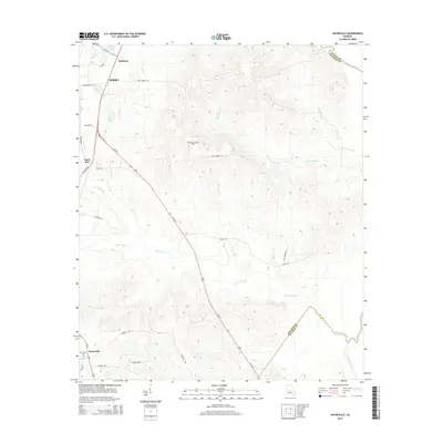
2014 Map of Hayneville
USGS Topo · Published 2014About this map
Hayneville and Kathleen anchor this section of Houston County, where the landscape is defined by the dendritic drainage patterns of Big Indian Creek and Big Grocery Cr. This 2014 survey captures a rural Georgia landscape that maintains its agricultural and timber character, despite its proximity to the growing city of Perry to the northwest. The terrain reveals a complex network of creeks like Mossy Cr and Dry Cr that feed toward the eastern boundary of the quadrangle.
Find a feature on this map
35 named features on this map. Tap any name to fly to it.
Don’t see what you’re looking for? This feature index may not catch every label — zoom into the map to look around manually.
Map Details
Editions of this 2014 Hayneville Map
This is the sole edition of this map. No revisions or reprints were ever made.
Other maps of this area

1956 · Cochran
USGS Topo · 1:62,500

1956 · Perry
USGS Topo · 1:62,500

1956 · Warner Robins
USGS Topo · 1:62,500

1956 · Jeffersonville
USGS Topo · 1:62,500

1957 · Macon
USGS Topo · 1:250,000

1958 · Macon
USGS Topo · 1:250,000

1964 · Macon
USGS Topo · 1:250,000

1973 · Hayneville
USGS Topo · 1:24,000

1973 · Klondike
USGS Topo · 1:24,000
1973 · Unadilla
USGS Topo · 1:24,000