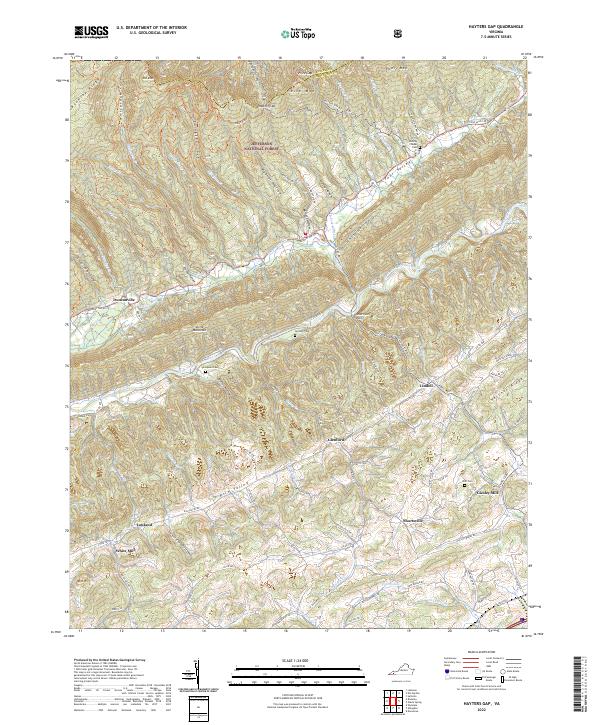
2022 Map of Hayters Gap
USGS Topo · Published 2022About this map
Jefferson National Forest dominates the northern reaches of this map, where the high ridges of Clinch Mountain and Rich Mtn overlook the parallel valleys of Southwest Virginia. The landscape is defined by the unique topography of "coves" and "hollows," such as Edinton Cove and Wydner Hollow, which historically dictated the pattern of settlement. Along the floor of Rich Valley, the North Fork Holston River meanders past a series of small communities including Glenford and Lindell. Local industry and commerce are marked by the presence of Giesley Mill and White Mill, while the spiritual and genealogical history of the area is preserved at sites like McCray Chapel and the Thompson Cem. The network of county roads, such as Rich Valley Rd and Brumley Gap Rd, follows the natural contours of the valley, connecting long-standing family farmsteads and rural crossroads like Shortsville.
Find a feature on this map
102 named features on this map. Tap any name to fly to it.
Don’t see what you’re looking for? This feature index may not catch every label — zoom into the map to look around manually.
Map Details
Editions of this 2022 Hayters Gap Map
This is the sole edition of this map. No revisions or reprints were ever made.
Other maps of this area

1891 · Abingdon
USGS Topo · 1:125,000

1894 · Abingdon
USGS Topo · 1:125,000

1897 · Bristol
USGS Topo · 1:125,000

1902 · Bristol
USGS Topo · 1:125,000

1909 · Abingdon
USGS Topo · 1:96,000

1911 · Abingdon
USGS Topo · 1:125,000

1918 · Carterton
USGS Topo · 1:62,500
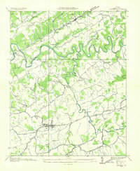
1934 · Lebanon
USGS Topo · 1:24,000

1934 · Brumley
USGS Topo · 1:24,000

1934 · Wyndale
USGS Topo · 1:24,000