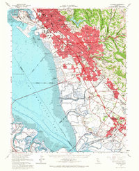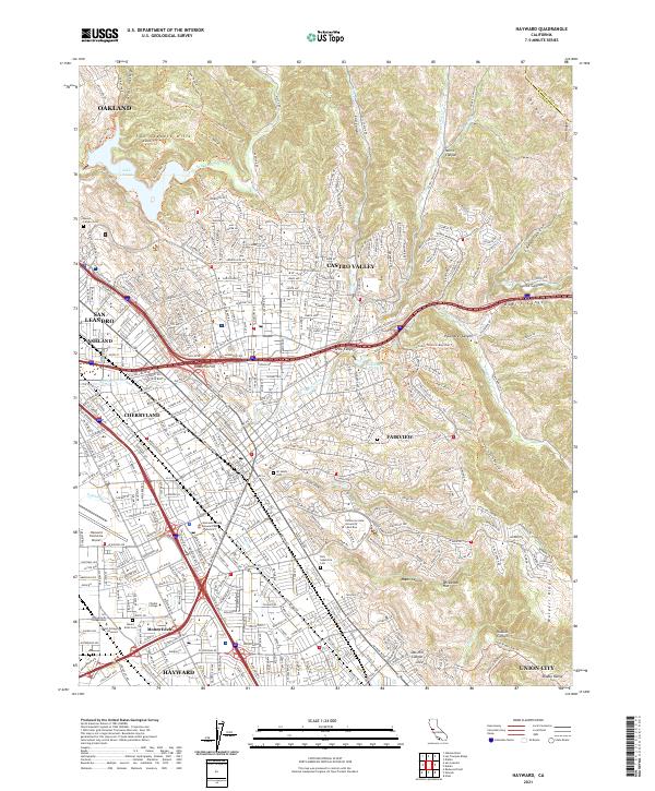
2021 Map of Hayward
USGS Topo · Published 2021About this map
Hayward and its surrounding suburban districts sit at the intersection of steep coastal ridgelines and the East Bay plain. The landscape is defined by the sharp transition from the residential grids of Cherryland, Ashland, and Castro Valley into the high, corrugated terrain of the San Leandro Hills and Walpert Ridge. Infrastructure like the Bart rail line and Hayward Executive Airport highlights the region's role as a major transit corridor. Several large institutional campuses, including California State University East Bay and Chabot College, occupy significant portions of the hillsides and valley floor. Historic burial grounds such as Lone Tree Cem and Holy Sepulchre Cem provide important genealogical touchstones. Beyond the urbanized areas, the map details the complex drainage systems of San Lorenzo Cr and the Don Castro Reservoir, which are bordered by steep canyons like Dublin Canyon and Palomares Canyon.
Find a feature on this map
86 named features on this map. Tap any name to fly to it.
Don’t see what you’re looking for? This feature index may not catch every label — zoom into the map to look around manually.
Map Details
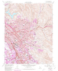
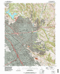
Editions of this 2021 Hayward Map
This is the sole edition of this map. No revisions or reprints were ever made.
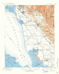
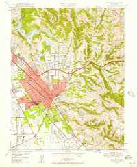
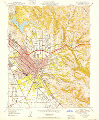
Historical Maps of Fairview Through Time
8 maps found