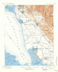
1915 Map of Hayward
USGS Topo · Published 1939About this map
The eastern shoreline of San Francisco Bay is defined here by a network of landings and industrial salt works during the early twentieth century. Extensive marshlands and sloughs stretch from San Leandro Bay down to Dumbarton, punctuated by sites like the Union City Salt Works and Crystal Salt Works. These coastal operations represent the primary industry of the period, connected to the interior via numerous landings such as Roberts Landing, Johnson Landing, and Jarvis Landing.
Find a feature on this map
72 named features on this map. Tap any name to fly to it.
Don’t see what you’re looking for? This feature index may not catch every label — zoom into the map to look around manually.
Map Details
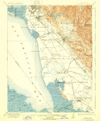
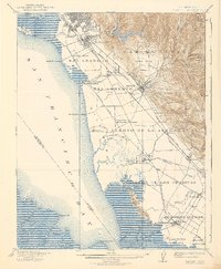
Editions of this 1915 Hayward Map
4 editions found

Other maps of this area

1889 · San Jose
USGS Topo · 1:62,500

1892 · San Mateo
USGS Topo · 1:62,500

1895 · San Francisco
USGS Topo · 1:62,500

1896 · San Mateo
USGS Topo · 1:62,500

1896 · Mt. Diablo
USGS Topo · 1:62,500

1897 · San Jose
USGS Topo · 1:62,500

1897 · Concord
USGS Topo · 1:62,500

1897 · Palo Alto
USGS Topo · 1:62,500

1898 · Mt. Diablo
USGS Topo · 1:62,500

1899 · San Jose
USGS Topo · 1:62,500