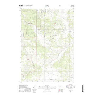
2021 Map of Hayward
USGS Topo · Published 2021About this map
Black Hills National Forest land dominates this section of the Black Hills along the border of Pennington and Custer counties. The landscape is defined by its drainage systems, where Battle Creek and Spokane Creek carve through the terrain, joined by the namesake waters of Grace Coolidge Creek. High points like Lakota Peak overlook a network of named canyons and ravines, including the ominously named Deadman Gulch and Whiskey Gulch.
Find a feature on this map
62 named features on this map. Tap any name to fly to it.
Don’t see what you’re looking for? This feature index may not catch every label — zoom into the map to look around manually.
Map Details
Editions of this 2021 Hayward Map
This is the sole edition of this map. No revisions or reprints were ever made.
Other maps of this area

1894 · Hermosa
USGS Topo · 1:125,000

1901 · Hermosa
USGS Topo · 1:125,000

1953 · Hermosa NW
USGS Topo · 1:24,000

1953 · Hermosa
USGS Topo · 1:24,000
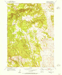
1954 · Rockerville
USGS Topo · 1:24,000

1954 · Iron Mountain
USGS Topo · 1:24,000
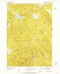
1954 · Mount Rushmore
USGS Topo · 1:24,000

1954 · Hayward
USGS Topo · 1:24,000

1954 · Mount Rushmore
USGS Topo · 1:62,500

1955 · Mt. Coolidge
USGS Topo · 1:24,000