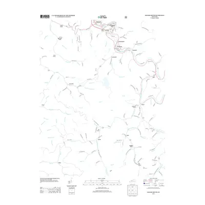
2013 Map of Hazard South
USGS Topo · Published 2013About this map
Hazard and its surrounding mountain communities follow the winding corridor of the N Fork Kentucky River and Carr Fork in this detailed 2013 topographic study. The map documents the residential and industrial footprint of southeastern Kentucky, where settlement patterns are dictated by narrow valley floors and hollows. Densely populated neighborhoods like Woodland Park, Lothair, and Christopher cluster near the river, while smaller named communities such as Diablock, Glomawr, and Viper extend along the secondary drainages and rail lines.
Find a feature on this map
178 named features on this map. Tap any name to fly to it.
Don’t see what you’re looking for? This feature index may not catch every label — zoom into the map to look around manually.
Map Details
Editions of this 2013 Hazard South Map
This is the sole edition of this map. No revisions or reprints were ever made.
Other maps of this area

1891 · Hazard
USGS Topo · 1:125,000

1913 · Buckhorn
USGS Topo · 1:62,500

1914 · Troublesome
USGS Topo · 1:62,500

1916 · Cornettsville
USGS Topo · 1:62,500

1916 · Hyden
USGS Topo · 1:48,000

1919 · Hyden
USGS Topo · 1:62,500

1954 · Krypton
USGS Topo · 1:24,000
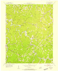
1954 · Hyden East
USGS Topo · 1:24,000
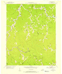
1954 · Tilford
USGS Topo · 1:24,000
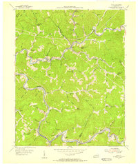
1954 · Vicco
USGS Topo · 1:24,000