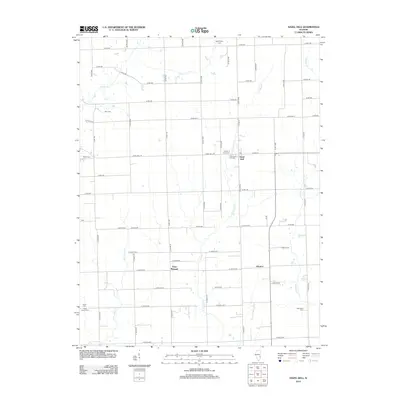
2012 Map of Hazel Dell
USGS Topo · Published 2012About this map
The small community of Hazel Dell serves as a central anchor in this rural Illinois landscape, where life follows the paths of local watercourses like E Crooked Cr and Panther Cr. The map reveals a high density of local burial grounds, offering significant value for genealogical research, including Washington Cem, McFadden Cem, and the Swick Family Cem. These sites, along with smaller settlements like Point Pleasant and Advance, indicate a long-standing pattern of family-centered agricultural development.
Find a feature on this map
62 named features on this map. Tap any name to fly to it.
Don’t see what you’re looking for? This feature index may not catch every label — zoom into the map to look around manually.
Map Details
Editions of this 2012 Hazel Dell Map
This is the sole edition of this map. No revisions or reprints were ever made.
Other maps of this area

1933 · Toledo
USGS Topo · 1:62,500

1936 · Casey
USGS Topo · 1:48,000

1938 · Toledo
USGS Topo · 1:62,500

1940 · Greenup
USGS Topo · 1:62,500

1942 · Casey
USGS Topo · 1:62,500

1943 · Greenup
USGS Topo · 1:62,500

1943 · Casey
USGS Topo · 1:62,500

1953 · Indianapolis
USGS Topo · 1:250,000

1956 · Indianapolis
USGS Topo · 1:250,000

1956 · Annapolis
USGS Topo · 1:62,500