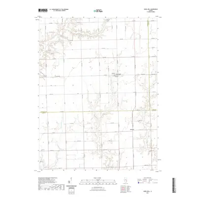
2021 Map of Hazel Dell
USGS Topo · Published 2021About this map
Hazel Dell serves as a central hub for this portion of southern Illinois, where the borders of Cumberland, Clark, and Jasper counties converge. The landscape is defined by a dendritic network of waterways, including E Crooked Cr and W Crooked Cr, which cut through the agricultural grid. This modern survey reveals a dense concentration of historical burial sites, suggesting a deeply rooted rural community. Genealogists will find a wealth of family-named landmarks such as Paul Cem, Debord Cem, and McFadden Cem. To the south, the settlement of Advance marks the intersection of CO Hwy 13 and E 2100th Ave, anchored by the Swick Family Cem. The persistence of these small family and community cemeteries amidst contemporary section roads provides a clear record of 19th and 20th-century settlement patterns in the Wabash River basin hinterlands.
Find a feature on this map
45 named features on this map. Tap any name to fly to it.
Don’t see what you’re looking for? This feature index may not catch every label — zoom into the map to look around manually.
Map Details
Editions of this 2021 Hazel Dell Map
This is the sole edition of this map. No revisions or reprints were ever made.
Other maps of this area

1933 · Toledo
USGS Topo · 1:62,500

1936 · Casey
USGS Topo · 1:48,000

1938 · Toledo
USGS Topo · 1:62,500

1940 · Greenup
USGS Topo · 1:62,500

1942 · Casey
USGS Topo · 1:62,500

1943 · Greenup
USGS Topo · 1:62,500

1943 · Casey
USGS Topo · 1:62,500

1953 · Indianapolis
USGS Topo · 1:250,000

1956 · Indianapolis
USGS Topo · 1:250,000

1956 · Annapolis
USGS Topo · 1:62,500