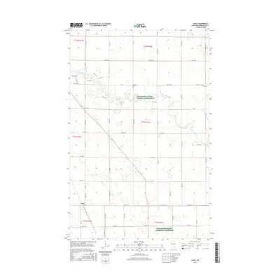
2016 Map of Hazel
USGS Topo · Published 2016About this map
The Red Lake River meanders across this rural landscape in Pennington County, carving a winding path through the fertile plains of northern Minnesota. This 2016 survey highlights the small community of Hazel, situated in the southwestern portion of the quadrangle near the intersection of Co Hwy 20 and Center Street. The grid-like agricultural roads, including 160th St NE and 220th Ave NE, define the land use patterns of the region, where large tracts are designated as Farm Service Agency Interest of Minnesota.
Find a feature on this map
55 named features on this map. Tap any name to fly to it.
Don’t see what you’re looking for? This feature index may not catch every label — zoom into the map to look around manually.
Map Details
Editions of this 2016 Hazel Map
This is the sole edition of this map. No revisions or reprints were ever made.
Other maps of this area

1918 · Terrebonne
USGS Topo · 1:62,500

1919 · Grit
USGS Topo · 1:62,500

1943 · Thief River Falls
USGS Topo · 1:62,500

1952 · Grand Forks
USGS Topo · 1:250,000

1952 · Thief River Falls
USGS Topo · 1:250,000

1954 · Bemidji
USGS Topo · 1:250,000

1954 · Roseau
USGS Topo · 1:250,000

1956 · Thief River Falls
USGS Topo · 1:250,000

1956 · Grand Forks
USGS Topo · 1:250,000

1957 · Roseau
USGS Topo · 1:250,000