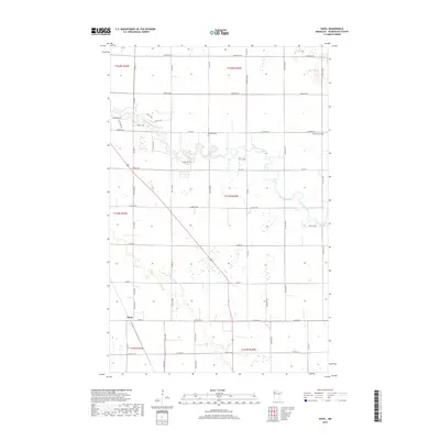
2019 Map of Hazel
USGS Topo · Published 2019About this map
Red Lake River meanders in tight oxbows through the agricultural plains of Pennington County, defining the drainage patterns of this portion of northern Minnesota. This 2019 survey captures the small settlement of Hazel at the intersection of Co Hwy 3 and the railroad corridor, a classic prairie rail stop that continues to serve the surrounding farmstead network. The map preserves the locations of local landmarks such as Emanuel Cem and Bethania Cem, which sit alongside a grid of county roads including NE 150th St and Co Hwy 7. The landscape is primarily composed of large-scale sectioned fields, punctuated by wetland pockets and rural residential drives like Sorteberg Dr. This record provides a clear look at the contemporary land use and connectivity of this rural township just before the turn of the decade.
Find a feature on this map
55 named features on this map. Tap any name to fly to it.
Don’t see what you’re looking for? This feature index may not catch every label — zoom into the map to look around manually.
Map Details
Editions of this 2019 Hazel Map
This is the sole edition of this map. No revisions or reprints were ever made.
Other maps of this area

1918 · Terrebonne
USGS Topo · 1:62,500

1919 · Grit
USGS Topo · 1:62,500

1943 · Thief River Falls
USGS Topo · 1:62,500

1952 · Grand Forks
USGS Topo · 1:250,000

1952 · Thief River Falls
USGS Topo · 1:250,000

1954 · Bemidji
USGS Topo · 1:250,000

1954 · Roseau
USGS Topo · 1:250,000

1956 · Thief River Falls
USGS Topo · 1:250,000

1956 · Grand Forks
USGS Topo · 1:250,000

1957 · Roseau
USGS Topo · 1:250,000