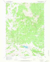
1967 Map of Hazelton Peak
USGS Topo · Published 1971About this map
Hazelton Peak and the nearby Hazelton Pyramid anchor the high-elevation landscape of the Bighorn National Forest in this late-1960s survey. The map details a complex network of headwaters, where the North Fork Powder River and tributaries like Canyon Cr flow through deeply incised valleys. This era shows the intersection of natural resource management and mountain recreation, centered on the Dullknife Reservoir and its spillway.
Find a feature on this map
31 named features on this map. Tap any name to fly to it.
Don’t see what you’re looking for? This feature index may not catch every label — zoom into the map to look around manually.
Map Details
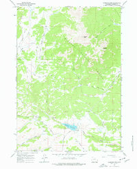
Editions of this 1967 Hazelton Peak Map
2 editions found
Other maps of this area

1899 · Cloud peak
USGS Topo · 1:125,000

1900 · Fort McKinney
USGS Topo · 1:125,000

1901 · Cloud Peak
USGS Topo · 1:125,000

1903 · Fort McKinney
USGS Topo · 1:125,000

1955 · Sheridan
USGS Topo · 1:250,000

1955 · Arminto
USGS Topo · 1:250,000

1958 · Sheridan
USGS Topo · 1:250,000

1958 · Arminto
USGS Topo · 1:250,000

1962 · Sheridan
USGS Topo · 1:250,000

1962 · Arminto
USGS Topo · 1:250,000