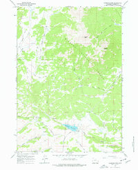
1967 Map of Hazelton Peak
USGS Topo · Published 1978About this map
Hazelton Peak and Hazelton Pyramid dominate this high-altitude landscape in the Bighorn National Forest during the mid-1960s. The region is defined by a dense network of mountain drainage systems, including the North Fork Powder River and the various branches of Crazy Woman Creek. Evidence of local industry and mountain infrastructure is clear, with the Big Horn Mine situated near Bader Gulch and the high-elevation Dullknife Reservoir featuring a spillway at 8,146 feet. Remote activity is noted at Cow Camp along Webb Creek, while transportation is limited to rugged tracks like Gold Mine Road and Hazelton Road. This survey documents the intersection of water management, mineral extraction, and public forest lands in the Bighorn Mountains prior to modern development.
Find a feature on this map
27 named features on this map. Tap any name to fly to it.
Don’t see what you’re looking for? This feature index may not catch every label — zoom into the map to look around manually.
Map Details
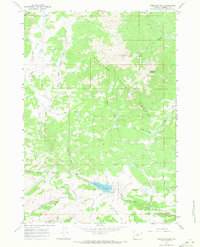
Editions of this 1967 Hazelton Peak Map
2 editions found
Other maps of this area

1899 · Cloud peak
USGS Topo · 1:125,000

1900 · Fort McKinney
USGS Topo · 1:125,000

1901 · Cloud Peak
USGS Topo · 1:125,000

1903 · Fort McKinney
USGS Topo · 1:125,000

1955 · Sheridan
USGS Topo · 1:250,000

1955 · Arminto
USGS Topo · 1:250,000

1958 · Sheridan
USGS Topo · 1:250,000

1958 · Arminto
USGS Topo · 1:250,000

1962 · Sheridan
USGS Topo · 1:250,000

1962 · Arminto
USGS Topo · 1:250,000