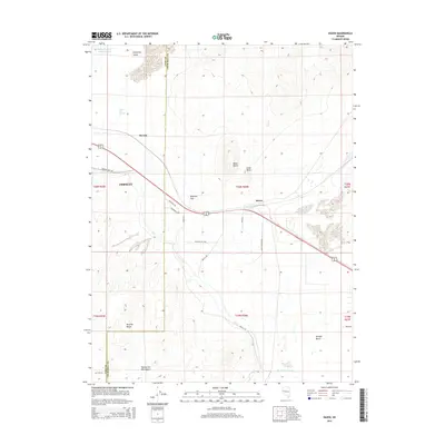
2014 Map of Hazen
USGS Topo · Published 2014About this map
The arid landscape of the Fortymile Desert and Twenty-Six-Mile Desert defines this section of the Nevada basin, where historical transit corridors converge near the border of Lyon and Churchill counties. The settlement of Hazen serves as a central point for local infrastructure, situated near the Hazen Drain and the elevated terrain of Black Butte. To the west, the community of Darwin and the Patua Hot Springs lie at the edge of the Virginia Range, illustrating the traditional reliance on thermal features and water management in this dry environment. The presence of the KX Lateral Canal and Swingle Bench underscores the regional focus on land reclamation and irrigation. Modern transit routes like Great Basin Pkwy and Farm District Rd overlay older topographic landmarks such as Ragtown Pass, showing the evolution of movement through these basins.
Find a feature on this map
32 named features on this map. Tap any name to fly to it.
Don’t see what you’re looking for? This feature index may not catch every label — zoom into the map to look around manually.
Map Details
Editions of this 2014 Hazen Map
This is the sole edition of this map. No revisions or reprints were ever made.
Other maps of this area

1890 · Wadsworth
USGS Topo · 1:125,000

1891 · Wabuska
USGS Topo · 1:125,000

1892 · Wadsworth
USGS Topo · 1:125,000

1894 · Wadsworth
USGS Topo · 1:125,000

1894 · Wabuska
USGS Topo · 1:125,000

1908 · Carson Sink
USGS Topo · 1:250,000

1910 · Carson Sink
USGS Topo · 1:250,000

1951 · Soda Lake
USGS Topo · 1:62,500

1951 · Fallon
USGS Topo · 1:62,500

1957 · Two Tips
USGS Topo · 1:62,500