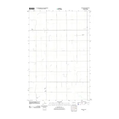
2011 Map of Hazen NE
USGS Topo · Published 2011About this map
Saint Peters Cemetery and Tschaekofske Cemetery sit amidst the high plains landscape north of the Knife River valley in Mercer County. This 2011 survey illustrates a region defined by its agricultural grid, where section lines are traced by a network of local roads including 48th St NW and County Rd 29. The drainage of Coal Creek meanders across the southern and central portions of the map, a quiet feature in an otherwise strictly surveyed landscape. For genealogists and local historians, the concentration of family and parish-linked burial grounds such as Saint Johns Cemetery, Saint Jacobs Cemetery, and Goetz Cemetery provides specific points of interest for tracing the early 20th-century settlement patterns of the North Dakota prairies.
Find a feature on this map
27 named features on this map. Tap any name to fly to it.
Don’t see what you’re looking for? This feature index may not catch every label — zoom into the map to look around manually.
Map Details
Editions of this 2011 Hazen NE Map
This is the sole edition of this map. No revisions or reprints were ever made.
Other maps of this area

1922 · Garrison
USGS Topo · 1:62,500

1948 · Stanton
USGS Topo · 1:62,500

1949 · Stanton
USGS Topo · 1:62,500

1954 · McClusky
USGS Topo · 1:250,000

1958 · McClusky
USGS Topo · 1:250,000

1967 · Emmet SE
USGS Topo · 1:24,000

1967 · Emmet SW
USGS Topo · 1:24,000

1968 · Hazen West
USGS Topo · 1:24,000

1968 · Stanton
USGS Topo · 1:24,000

1968 · Hazen East
USGS Topo · 1:24,000