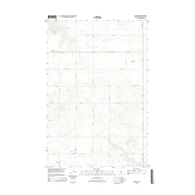
2014 Map of Hazen NE
USGS Topo · Published 2014About this map
Family names and small burial grounds define this rural portion of Mercer County north of Hazen. The landscape is largely structured by a strict section-line road grid, including 48th Ave NW and 50th Ave NW, which cross the rolling terrain characteristic of the region. Coal Cr winds through the southwestern corner, providing the primary natural drainage in an area otherwise dominated by high-plains agriculture. For genealogists, the map is remarkably dense with specific family-associated sites, such as the Tschaekofske Cem and Goetz Cem. These small, localized cemeteries, along with Saint Peters Cem, Saint Johns Cem, and Saint Jacobs Cem, suggest a history of tight-knit pioneer settlements and early church congregations that shaped the social fabric of the North Dakota prairie.
Find a feature on this map
30 named features on this map. Tap any name to fly to it.
Don’t see what you’re looking for? This feature index may not catch every label — zoom into the map to look around manually.
Map Details
Editions of this 2014 Hazen NE Map
This is the sole edition of this map. No revisions or reprints were ever made.
Other maps of this area

1922 · Garrison
USGS Topo · 1:62,500

1948 · Stanton
USGS Topo · 1:62,500

1949 · Stanton
USGS Topo · 1:62,500

1954 · McClusky
USGS Topo · 1:250,000

1958 · McClusky
USGS Topo · 1:250,000

1967 · Emmet SE
USGS Topo · 1:24,000

1967 · Emmet SW
USGS Topo · 1:24,000

1968 · Hazen West
USGS Topo · 1:24,000

1968 · Stanton
USGS Topo · 1:24,000

1968 · Hazen East
USGS Topo · 1:24,000