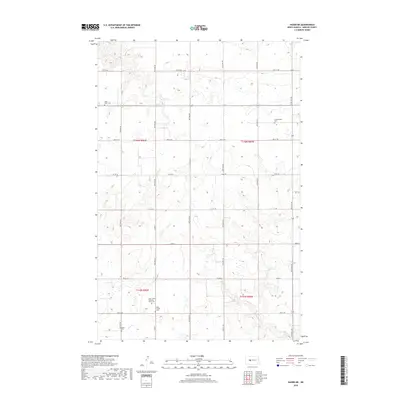
2018 Map of Hazen NE
USGS Topo · Published 2018About this map
Coal Creek meanders through the heart of this Mercer County landscape, defining the topography across portions of t145n r86w and t146n r86w. The area is characterized by a dense concentration of rural cemeteries that speak to the early settlement history and community genealogy of the region. Distinctive sites such as Saint James Lutheran Krem Cem and the Tschaekofske Cem reflect the heritage of the local population. A systematic grid of section-line roads, including County Road 29 and County Road 28, provides access to these historical landmarks. Other family and parish-named sites like Saint Peter Cem, Saint Jacobs Cem, and Goetz Cem are scattered throughout the quadrangle, serving as critical points of interest for those researching North Dakota pioneer history and ancestral burial grounds in this corner of the state.
Find a feature on this map
29 named features on this map. Tap any name to fly to it.
Don’t see what you’re looking for? This feature index may not catch every label — zoom into the map to look around manually.
Map Details
Editions of this 2018 Hazen NE Map
This is the sole edition of this map. No revisions or reprints were ever made.
Other maps of this area

1922 · Garrison
USGS Topo · 1:62,500

1948 · Stanton
USGS Topo · 1:62,500

1949 · Stanton
USGS Topo · 1:62,500

1954 · McClusky
USGS Topo · 1:250,000

1958 · McClusky
USGS Topo · 1:250,000

1967 · Emmet SE
USGS Topo · 1:24,000

1967 · Emmet SW
USGS Topo · 1:24,000

1968 · Hazen West
USGS Topo · 1:24,000

1968 · Stanton
USGS Topo · 1:24,000

1968 · Hazen East
USGS Topo · 1:24,000