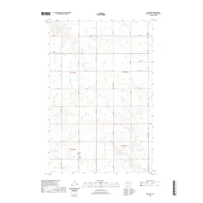
2020 Map of Hazen NE
USGS Topo · Published 2020About this map
The northern plains of Mercer County are defined by the winding course of Coal Cr and a landscape dotted with the resting places of early homesteading families. This rural landscape is heavily partitioned into townships like t146n r85w and t146n r86w, where the settlement pattern is preserved through scattered rural cemeteries rather than concentrated towns. The density of these sites, including the Tschaekofske Cem, Trinity Mannhaven Cem, and Goetz Cem, suggests a legacy of distinct family plots and small parish communities that once characterized this portion of North Dakota. Modern infrastructure like Co RD 28 and Main St now traverses these sections, following the rigid grid established by the Public Land Survey System while navigating the subtle elevation changes of the surrounding prairie.
Find a feature on this map
21 named features on this map. Tap any name to fly to it.
Don’t see what you’re looking for? This feature index may not catch every label — zoom into the map to look around manually.
Map Details
Editions of this 2020 Hazen NE Map
This is the sole edition of this map. No revisions or reprints were ever made.
Other maps of this area

1922 · Garrison
USGS Topo · 1:62,500

1948 · Stanton
USGS Topo · 1:62,500

1949 · Stanton
USGS Topo · 1:62,500

1954 · McClusky
USGS Topo · 1:250,000

1958 · McClusky
USGS Topo · 1:250,000

1967 · Emmet SE
USGS Topo · 1:24,000

1967 · Emmet SW
USGS Topo · 1:24,000

1968 · Hazen West
USGS Topo · 1:24,000

1968 · Stanton
USGS Topo · 1:24,000

1968 · Hazen East
USGS Topo · 1:24,000