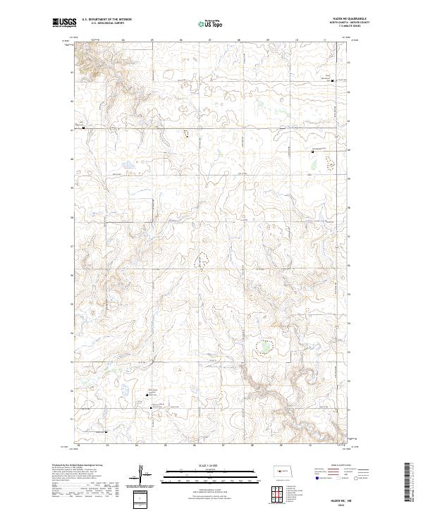
2024 Map of Hazen NE
USGS Topo · Published 2024About this map
Trinity Mannhaven Cem and Saint James Lutheran - Krem Cem serve as prominent anchors for family history in this corner of Mercer County. The landscape is defined by the section-line road network and the winding course of Coal Creek as it moves through the southern townships. Rural life is centered around community landmarks like Peace Lutheran Church and several family-named burial grounds including Tschaekofske Cem and Goetz Cem. This modern survey by the U.S. Geological Survey documents the enduring settlement patterns of the North Dakota prairie, where township boundaries like t146n r86w and t145n r85w maintain the grid established over a century ago. The map detail reflects a quiet, agricultural region where small cemeteries and churches remain the primary points of historical reference across the undulating terrain.
Find a feature on this map
18 named features on this map. Tap any name to fly to it.
Don’t see what you’re looking for? This feature index may not catch every label — zoom into the map to look around manually.
Map Details
Editions of this 2024 Hazen NE Map
This is the sole edition of this map. No revisions or reprints were ever made.
Other maps of this area

1922 · Garrison
USGS Topo · 1:62,500

1948 · Stanton
USGS Topo · 1:62,500

1949 · Stanton
USGS Topo · 1:62,500

1954 · McClusky
USGS Topo · 1:250,000

1958 · McClusky
USGS Topo · 1:250,000

1967 · Emmet SE
USGS Topo · 1:24,000

1967 · Emmet SW
USGS Topo · 1:24,000

1968 · Hazen West
USGS Topo · 1:24,000

1968 · Stanton
USGS Topo · 1:24,000

1968 · Hazen East
USGS Topo · 1:24,000