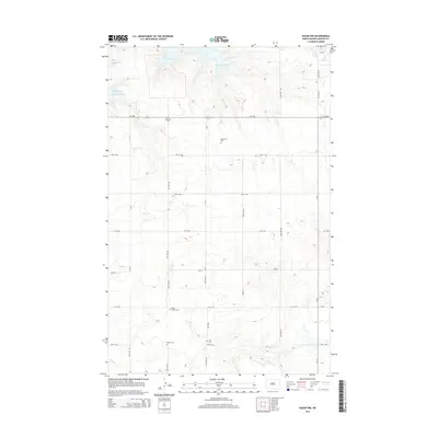
2014 Map of Hazen NW
USGS Topo · Published 2014About this map
Lake Sakakawea and its intricate northern shoreline dominate this portion of the Missouri River reservoir system in Mercer County. The topography is defined by the deep indentations of Beulah Bay and Expansion Bay, where the water meets the high plains of North Dakota. South of the water, a geometric grid of rural roads such as ND-1806 and CR-9 organizes the landscape into vast agricultural blocks.
Find a feature on this map
31 named features on this map. Tap any name to fly to it.
Don’t see what you’re looking for? This feature index may not catch every label — zoom into the map to look around manually.
Map Details
Editions of this 2014 Hazen NW Map
This is the sole edition of this map. No revisions or reprints were ever made.
Other maps of this area

1954 · McClusky
USGS Topo · 1:250,000

1958 · McClusky
USGS Topo · 1:250,000

1967 · Emmet SE
USGS Topo · 1:24,000

1967 · Blackwater Lake SE
USGS Topo · 1:24,000

1967 · Emmet SW
USGS Topo · 1:24,000

1968 · Beulah
USGS Topo · 1:24,000

1968 · Hazen West
USGS Topo · 1:24,000

1968 · Hazen East
USGS Topo · 1:24,000

1969 · Hazen NE
USGS Topo · 1:24,000

1969 · Beulah NE
USGS Topo · 1:24,000