2024 Map of Hazlehurst
USGS Topo · Published 2024About this map
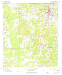
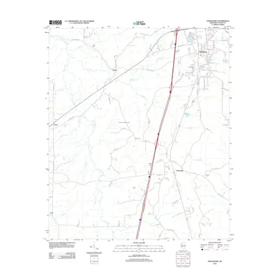
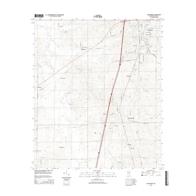
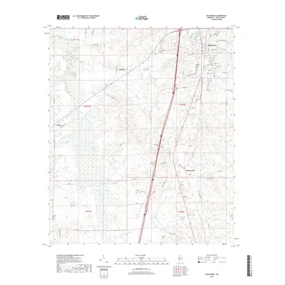
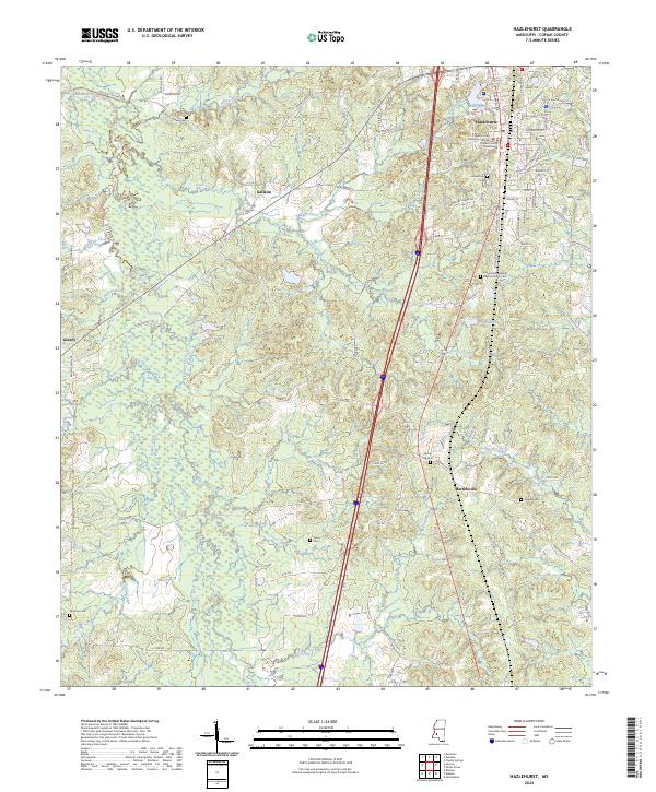
Hazlehurst serves as the focal point of this Copiah County landscape, where the Copiah County Courthouse and Copiah County Chancery Complex anchor the town center. The settlement pattern radiates outward from this seat, transitioning into the rural communities of Martinsville and Gallatin. The geography is defined by a dense network of watercourses, including the winding Bayou Pierre, Mill Creek, and Jones Creek, which have historically dictated the placement of roads and homesteads across the townships.
Find a feature on this map
88 named features on this map. Tap any name to fly to it.
Don’t see what you’re looking for? This feature index may not catch every label — zoom into the map to look around manually.
Map Details
Editions of this 2024 Hazlehurst Map
This is the sole edition of this map. No revisions or reprints were ever made.
Historical Maps of Hazlehurst Through Time
6 maps found