
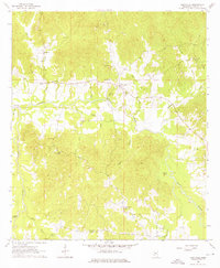
1963 Map of Dentville
USGS Topo · Published 1964About this map
Bayou Pierre meanders through the heart of this Copiah County landscape, its winding course defining the rural topography of central Mississippi in the early 1960s. The small settlement of Dentville serves as a local hub, situated near the intersection of several regional routes and the northern banks of the bayou. The surrounding countryside is dotted with established community landmarks, including New Mt Zion Ch, Fair View Ch, and Flower Hill Ch, which reflect the social and spiritual fabric of this agrarian region.
Find a feature on this map
31 named features on this map. Tap any name to fly to it.
Don’t see what you’re looking for? This feature index may not catch every label — zoom into the map to look around manually.
Map Details
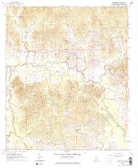
Editions of this 1963 Dentville Map
3 editions found
Other maps of this area

1903 · Jackson
USGS Topo · 1:125,000

1937 · Terry
USGS Topo · 1:48,000

1943 · Terry
USGS Topo · 1:62,500

1953 · Natchez
USGS Topo · 1:250,000

1955 · Jackson
USGS Topo · 1:250,000

1956 · Natchez
USGS Topo · 1:250,000

1959 · Natchez
USGS Topo · 1:250,000

1961 · Jackson
USGS Topo · 1:250,000

1962 · Jackson
USGS Topo · 1:250,000

1962 · Utica West
USGS Topo · 1:24,000