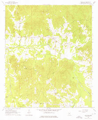
1963 Map of Dentville
USGS Topo · Published 1976About this map
The community of Dentville anchors this mid-century landscape in Copiah County, where the winding course of Pierre Bayou and its numerous tributaries like Turkey Creek and Sugar Creek define the local topography. This survey, field-checked in the early 1960s, documents a rural network of small settlements and neighborhood gathering points, including Willing and Hoodtown. The map is particularly useful for genealogists, as it identifies several rural congregations and burial grounds such as Fair View Ch, New Mt Zion Ch, and Flower Hill Cem.
Find a feature on this map
31 named features on this map. Tap any name to fly to it.
Don’t see what you’re looking for? This feature index may not catch every label — zoom into the map to look around manually.
Map Details
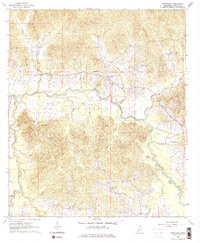
Editions of this 1963 Dentville Map
3 editions found

Other maps of this area

1903 · Jackson
USGS Topo · 1:125,000

1937 · Terry
USGS Topo · 1:48,000

1943 · Terry
USGS Topo · 1:62,500

1953 · Natchez
USGS Topo · 1:250,000

1955 · Jackson
USGS Topo · 1:250,000

1956 · Natchez
USGS Topo · 1:250,000

1959 · Natchez
USGS Topo · 1:250,000

1961 · Jackson
USGS Topo · 1:250,000

1962 · Jackson
USGS Topo · 1:250,000

1962 · Utica West
USGS Topo · 1:24,000