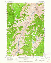
1957 Map of He Devil
USGS Topo · Published 1964About this map
The Snake River carves through the center of this 1957 survey, defining the state boundary and the dramatic depth of Snake River Canyon. To the east, the Seven Devils Mountains rise sharply, anchored by the peak of He Devil and the Seven Devils Guard Station. This mid-century landscape is marked by the infrastructure of the Wallowa-Whitman, Nezperce, and Payette National Forests, showing a network of remote outposts such as Memaloose Guard Station and the Memaloose Landing Strip.
Find a feature on this map
133 named features on this map. Tap any name to fly to it.
Don’t see what you’re looking for? This feature index may not catch every label — zoom into the map to look around manually.
Map Details
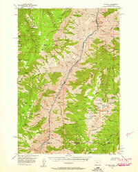
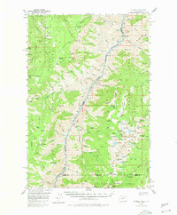
Editions of this 1957 He Devil Map
4 editions found
Other maps of this area

1920 · Seven Devils Mining District
USGS Topo · 1:48,000

1922 · He Devil
USGS Topo · 1:48,000

1938 · Riggins
USGS Topo · 1:96,000

1945 · Riggins
USGS Topo · 1:125,000

1954 · Imnaha
USGS Topo · 1:62,500

1954 · Kernan Point
USGS Topo · 1:62,500

1954 · Harl Butte
USGS Topo · 1:62,500

1955 · Grangeville
USGS Topo · 1:250,000

1957 · He Devil
USGS Topo · 1:62,500

1957 · Cuprum
USGS Topo · 1:62,500