2010 Map of Head of Rapid River
USGS Topo · Published 2010About this map
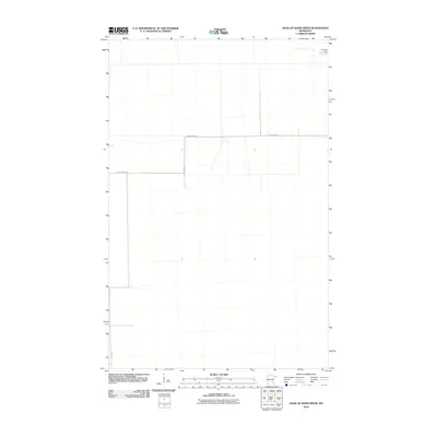
Shilling Dam sits in the northeast corner of this 2010 landscape, a solitary water feature in a region defined by its wide, orthogonal grid of forest and field roads. The map reveals the managed geometry of Beltrami County, where long, straight thoroughfares like Rapid River Rd and County Hwy-704 partition the terrain into expansive blocks. The placement of these roads, including Mertz Rd NW and Elm Ave, suggests a territory organized for timber management or rural accessibility rather than dense settlement. This survey provides a precise record of the infrastructure at the headwaters region of the Rapid River, documenting the intersection of essential rural transport routes before the landscape changes further through development or natural succession.
Find a feature on this map
5 named features on this map. Tap any name to fly to it.
Don’t see what you’re looking for? This feature index may not catch every label — zoom into the map to look around manually.
Map Details
Editions of this 2010 Head of Rapid River Map
This is the sole edition of this map. No revisions or reprints were ever made.
Other maps of this area

1918 · F
USGS Topo · 1:62,500

1918 · Malcolm
USGS Topo · 1:62,500

1918 · Jelle
USGS Topo · 1:62,500

1954 · Roseau
USGS Topo · 1:250,000

1957 · Roseau
USGS Topo · 1:250,000

1958 · Roseau
USGS Topo · 1:250,000

1973 · Gates Corner
USGS Topo · 1:24,000

1973 · Manomin Creek
USGS Topo · 1:24,000

1973 · Jelle NE
USGS Topo · 1:24,000

1973 · Thorhult
USGS Topo · 1:24,000