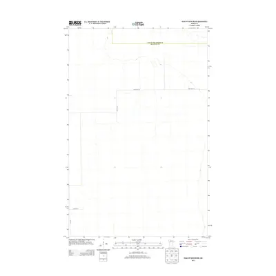
2013 Map of Head of Rapid River
USGS Topo · Published 2013About this map
Beltrami County and Lake of the Woods County meet in this sparsely settled northern Minnesota landscape, where the headwaters area of the Rapid River is defined by vast, open tracts of land. Infrastructure is minimal, dominated by a few straight-line corridors such as Rapid River Rd and Mertz Rd NW that cut through the terrain. The presence of Sackfield St and Elm Ave suggests localized development or the beginnings of a small settlement grid amidst the broad wetlands and forests characteristic of this border region. This survey captures the area at a point of quiet transition, mapping the exact boundary line between Lake of the Woods and Beltrami Counties through a nearly featureless interior.
Find a feature on this map
5 named features on this map. Tap any name to fly to it.
Don’t see what you’re looking for? This feature index may not catch every label — zoom into the map to look around manually.
Map Details
Editions of this 2013 Head of Rapid River Map
This is the sole edition of this map. No revisions or reprints were ever made.
Other maps of this area

1918 · F
USGS Topo · 1:62,500

1918 · Malcolm
USGS Topo · 1:62,500

1918 · Jelle
USGS Topo · 1:62,500

1954 · Roseau
USGS Topo · 1:250,000

1957 · Roseau
USGS Topo · 1:250,000

1958 · Roseau
USGS Topo · 1:250,000

1973 · Gates Corner
USGS Topo · 1:24,000

1973 · Manomin Creek
USGS Topo · 1:24,000

1973 · Jelle NE
USGS Topo · 1:24,000

1973 · Thorhult
USGS Topo · 1:24,000