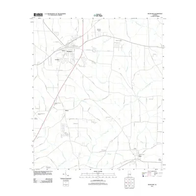
2011 Map of Headland
USGS Topo · Published 2011About this map
Headland serves as a central hub in this corner of Henry and Houston Counties, surrounded by a network of smaller communities including Southgate, Kinsey, and Webb. The landscape is defined by the headwaters of numerous waterways, where Little Omusee Creek and White Branch carve through the agricultural and residential transition north of Dothan. Local history is deeply etched into the land through its many burial grounds, ranging from the East Side Cemetery and West Side Cemetery in the city center to the more remote Bethlehem Cemetery and Poplar Spring Cemetery near the county lines.
Find a feature on this map
111 named features on this map. Tap any name to fly to it.
Don’t see what you’re looking for? This feature index may not catch every label — zoom into the map to look around manually.
Map Details
Editions of this 2011 Headland Map
This is the sole edition of this map. No revisions or reprints were ever made.
Other maps of this area

1953 · Dothan
USGS Topo · 1:250,000

1954 · Dothan
USGS Topo · 1:250,000

1955 · Dothan
USGS Topo · 1:250,000

1969 · Dothan East
USGS Topo · 1:24,000
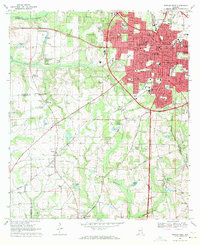
1969 · Dothan West
USGS Topo · 1:24,000
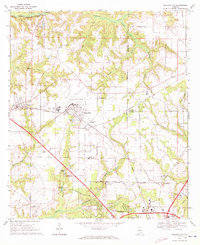
1969 · Midland City
USGS Topo · 1:24,000

1969 · Headland
USGS Topo · 1:24,000
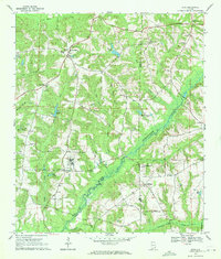
1969 · Echo
USGS Topo · 1:24,000

1969 · Newville
USGS Topo · 1:24,000

1970 · Haleburg
USGS Topo · 1:24,000