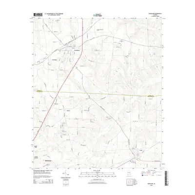
2014 Map of Headland
USGS Topo · Published 2014About this map
Headland serves as the central hub for this portion of Henry and Houston Counties, showing a well-defined street grid where W Railroad St and E Railroad St flank the tracks. This agricultural and residential landscape is dotted with local history markers, including the Piney Grove Cem to the north and the Gardens of Memory Cem near Kinsey. The terrain is defined by a dense network of watercourses like Omusee Cr and its various tributaries, such as Tally Br and Little Omusee Cr, which drain the area's gentle slopes.
Find a feature on this map
72 named features on this map. Tap any name to fly to it.
Don’t see what you’re looking for? This feature index may not catch every label — zoom into the map to look around manually.
Map Details
Editions of this 2014 Headland Map
This is the sole edition of this map. No revisions or reprints were ever made.
Other maps of this area

1953 · Dothan
USGS Topo · 1:250,000

1954 · Dothan
USGS Topo · 1:250,000

1955 · Dothan
USGS Topo · 1:250,000

1969 · Dothan East
USGS Topo · 1:24,000
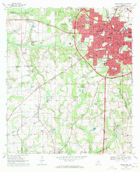
1969 · Dothan West
USGS Topo · 1:24,000
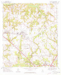
1969 · Midland City
USGS Topo · 1:24,000

1969 · Headland
USGS Topo · 1:24,000
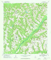
1969 · Echo
USGS Topo · 1:24,000

1969 · Newville
USGS Topo · 1:24,000

1970 · Haleburg
USGS Topo · 1:24,000