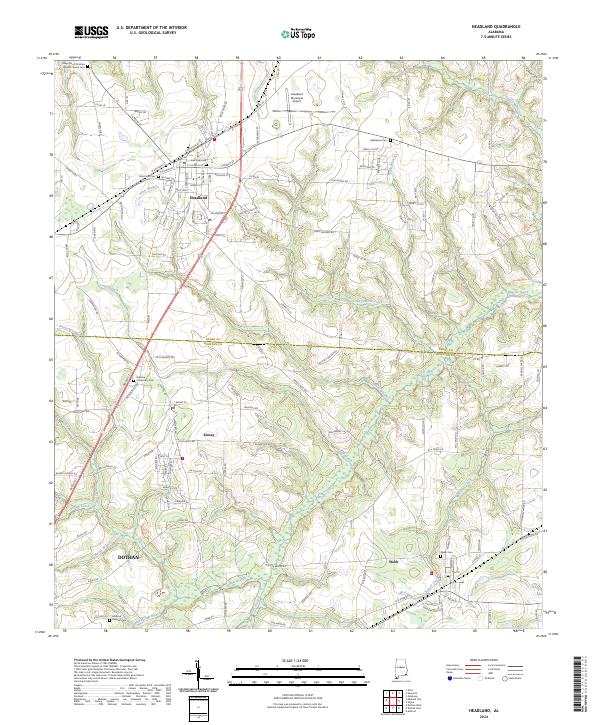
2024 Map of Headland
USGS Topo · Published 2024About this map
Headland serves as the focal point of this southeastern Alabama landscape, situated near the boundary where Henry and Houston counties meet. The town's grid is clearly defined by historical thoroughfares like E Main St and W Church St, and its community character is anchored by several burial grounds including West Side Cem and East Side Cem. This modern survey illustrates the proximity of agricultural heritage and municipal growth, with the Headland Municipal Airport established to the north and newer developments like Glenwood Ests appearing on the periphery.
Find a feature on this map
126 named features on this map. Tap any name to fly to it.
Don’t see what you’re looking for? This feature index may not catch every label — zoom into the map to look around manually.
Map Details
Editions of this 2024 Headland Map
This is the sole edition of this map. No revisions or reprints were ever made.
Other maps of this area

1953 · Dothan
USGS Topo · 1:250,000

1954 · Dothan
USGS Topo · 1:250,000

1955 · Dothan
USGS Topo · 1:250,000

1969 · Dothan East
USGS Topo · 1:24,000
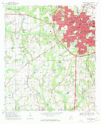
1969 · Dothan West
USGS Topo · 1:24,000
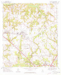
1969 · Midland City
USGS Topo · 1:24,000

1969 · Headland
USGS Topo · 1:24,000
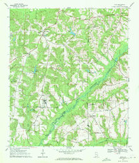
1969 · Echo
USGS Topo · 1:24,000

1969 · Newville
USGS Topo · 1:24,000

1970 · Haleburg
USGS Topo · 1:24,000