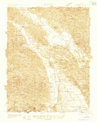
1933 Map of Healdsburg
USGS Topo · Published 1933About this map
Healdsburg serves as the focal point of this 1933 survey, where the Russian River meanders through a landscape defined by ranching, early tourism, and agricultural education. The presence of the Lytton Industrial Home and the Oma-Yah-Ish Indian Reservation reflects the complex social history of Sonoma County during this era. Transportation is dominated by the Northwestern Pacific railroad, which supported smaller settlements like Geyserville, Windsor, and Jim Town.
Find a feature on this map
102 named features on this map. Tap any name to fly to it.
Don’t see what you’re looking for? This feature index may not catch every label — zoom into the map to look around manually.
Map Details
Editions of this 1933 Healdsburg Map
This is the sole edition of this map. No revisions or reprints were ever made.
Other maps of this area
1916 · Santa Rosa
USGS Topo · 1:62,500
1920 · Healdsburg
USGS Topo · 1:62,500
1921 · Skaggs
USGS Topo · 1:62,500
1921 · Kelseyville
USGS Topo · 1:62,500
1927 · Calistoga
USGS Topo · 1:62,500
1935 · Sebastopol
USGS Topo · 1:48,000
1938 · Hopland
USGS Topo · 1:62,500
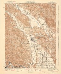
1940 · Healdsburg
USGS Topo · 1:62,500
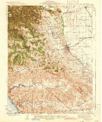
1942 · Sebastopol
USGS Topo · 1:62,500
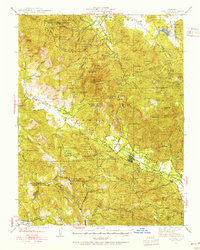
1943 · Calistoga
USGS Topo · 1:62,500