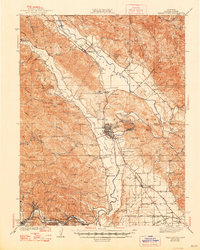
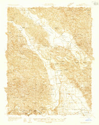
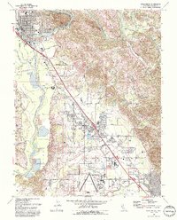
1940 Map of Healdsburg
USGS Topo · Published 1948About this map
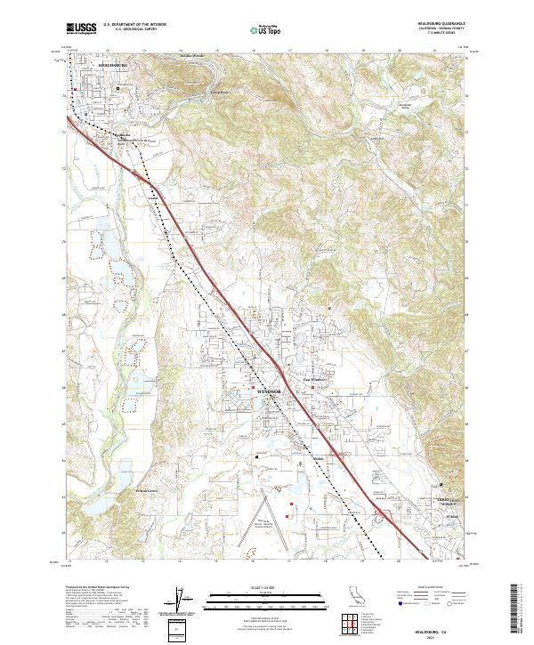
Healdsburg and the winding Russian River anchor this 1930s survey of Sonoma County, depicting a landscape defined by viticulture, timber, and the Northwestern Pacific railroad. The map records several early indigenous sites, including the Dry Creek Rancheria and Wapo Rancheria, alongside significant social landmarks like the Lytton Industrial Home. The Redwood Highway traces a corridor of small agricultural and rail stops from Geyserville and Chiquita south through Windsor. Along the western ridges, numerous small rural schools like Pena Sch and Daniels Sch serve isolated farmstead communities in the canyons of Dry Creek and Mill Creek. The inclusion of family-named landmarks such as Cozzens Corner and the Adam and Eve Redwoods provides a precise view of local land use before mid-century development altered the valley floor.
Find a feature on this map
103 named features on this map. Tap any name to fly to it.
Don’t see what you’re looking for? This feature index may not catch every label — zoom into the map to look around manually.
Map Details
Editions of this 1940 Healdsburg Map
3 editions found
Historical Maps of Windsor Through Time
11 maps found
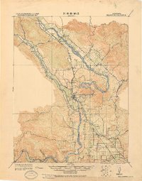
1920 Healdsburg
Sonoma County, CA
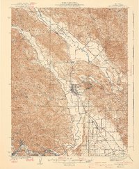
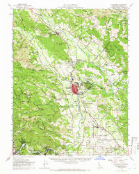
1933 Healdsburg
Sonoma County, CA
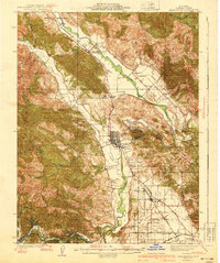
1940 Healdsburg
Sonoma County, CA
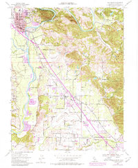
1955 Healdsburg
Sonoma County, CA
1955 Healdsburg
Sonoma County, CA
1972 Healdsburg
Sonoma County, CA
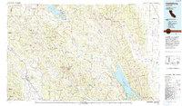
1993 Healdsburg
Sonoma County, CA
2012 Healdsburg
Sonoma County, CA
2015 Healdsburg
Sonoma County, CA
2018 Healdsburg
Sonoma County, CA
2021 Healdsburg
Sonoma County, CA