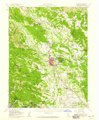
1955 Map of Healdsburg
USGS Topo · Published 1959About this map
Healdsburg serves as the focal point of this mid-century survey of the Russian River valley, where the city’s residential core is framed by a landscape of orchards, vineyards, and timber. The Northwestern Pacific Railroad follows the Russian River corridor, connecting a string of agricultural hamlets and rail stops such as Geyserville, Lytton, and Windsor. This era shows the region before the widespread suburbanization of the late 20th century, with the valley floor still defined by large landholdings like the Circle S Ranch and Montvale Farm.
Find a feature on this map
124 named features on this map. Tap any name to fly to it.
Don’t see what you’re looking for? This feature index may not catch every label — zoom into the map to look around manually.
Map Details
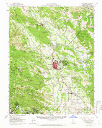
Editions of this 1955 Healdsburg Map
2 editions found
Other maps of this area

1916 · Santa Rosa
USGS Topo · 1:62,500

1920 · Healdsburg
USGS Topo · 1:62,500

1921 · Skaggs
USGS Topo · 1:62,500

1921 · Kelseyville
USGS Topo · 1:62,500

1927 · Calistoga
USGS Topo · 1:62,500

1933 · Healdsburg
USGS Topo · 1:48,000

1935 · Sebastopol
USGS Topo · 1:48,000

1938 · Hopland
USGS Topo · 1:62,500

1940 · Healdsburg
USGS Topo · 1:62,500

1942 · Sebastopol
USGS Topo · 1:62,500