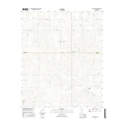
2016 Map of Healdton SW
USGS Topo · Published 2016About this map
Post Oak and the surrounding borderlands of the Carter Co and Love Co line are defined by a complex network of named rural routes and watercourses. This 2016 survey documents the drainages of Simon Cr and Coon Cr as they navigate the varied elevation near Brushy Mtn. The landscape is dotted with small family and community burial grounds, including Reck Cem, Morgan Cem, and Simon Cem, which provide essential touchpoints for genealogical research in this part of southern Oklahoma.
Find a feature on this map
40 named features on this map. Tap any name to fly to it.
Don’t see what you’re looking for? This feature index may not catch every label — zoom into the map to look around manually.
Map Details
Editions of this 2016 Healdton SW Map
This is the sole edition of this map. No revisions or reprints were ever made.
Other maps of this area

1901 · Addington
USGS Topo · 1:125,000

1901 · Ardmore
USGS Topo · 1:125,000

1902 · Gainesville
USGS Topo · 1:125,000

1905 · Montague
USGS Topo · 1:125,000

1918 · Ardmore
USGS Topo · 1:125,000

1943 · Gainesville
USGS Topo · 1:125,000

1954 · Sherman
USGS Topo · 1:250,000

1957 · Ardmore
USGS Topo · 1:250,000

1958 · Sherman
USGS Topo · 1:250,000

1963 · Ardmore
USGS Topo · 1:250,000