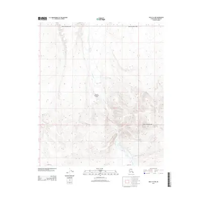
2014 Map of Healy D-6 NW
USGS Topo · Published 2014About this map
Denali National Park encompasses nearly the entire landscape in this 2014 survey of the Healy D-6 NW quadrangle. The terrain is defined by the northward flow of the Sushana River, which cuts a distinct valley through the center of the sheet as it moves from the higher elevations in the south toward the lower plains. A prominent human element in this otherwise wilderness area is the Stampede Trail, which skirts the southern edge of the map. This route has long been a point of interest for those tracking the modern history of travel and survival within the Alaskan interior. The map captures the precise topography of the river's drainage basin and the transition from mountain foothills to more level ground, providing a clear view of the drainage patterns and land boundaries within the park's protected borders.
Find a feature on this map
7 named features on this map. Tap any name to fly to it.
Don’t see what you’re looking for? This feature index may not catch every label — zoom into the map to look around manually.
Map Details
Editions of this 2014 Healy D-6 NW Map
This is the sole edition of this map. No revisions or reprints were ever made.
Other maps of this area

1948 · Kantishna River
USGS Topo · 1:250,000

1950 · Fairbanks
USGS Topo · 1:250,000

1951 · Healy
USGS Topo · 1:250,000

1951 · Kantishna River
USGS Topo · 1:250,000

1951 · Fairbanks
USGS Topo · 1:250,000

1951 · Mount McKinley D-1
USGS Topo · 1:63,360

1951 · Healy D-6
USGS Topo · 1:63,360

1952 · Mount McKinley
USGS Topo · 1:250,000

1952 · Fairbanks A-6
USGS Topo · 1:63,360

1952 · Kantishna River A-1
USGS Topo · 1:63,360