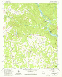
1964 Map of Heardmont
USGS Topo · Published 1980About this map
The Seaboard Air Line railroad corridors define the settlement patterns of Elbert County, Georgia, and Abbeville County, South Carolina, in the mid-1960s. Small communities like Heardmont, Pearl, and Beverly are clustered along these rail lines west of the Savannah River. The map reveals a dense network of local spiritual and educational landmarks, including Banks Sch, Bethel Grove Ch, and the uniquely named Gods Acre Cems.
Find a feature on this map
44 named features on this map. Tap any name to fly to it.
Don’t see what you’re looking for? This feature index may not catch every label — zoom into the map to look around manually.
Map Details
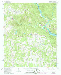
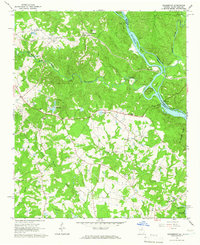
Editions of this 1964 Heardmont Map
Other maps of this area

1893 · Elberton
USGS Topo · 1:125,000

1906 · Crawfordville
USGS Topo · 1:125,000

1953 · Athens
USGS Topo · 1:250,000

1954 · Greenville
USGS Topo · 1:250,000

1955 · Broad
USGS Topo · 1:24,000

1955 · Chennault
USGS Topo · 1:24,000

1958 · Greenville
USGS Topo · 1:250,000

1958 · Athens
USGS Topo · 1:250,000

1958 · Elberton
USGS Topo · 1:62,500

1959 · Athens
USGS Topo · 1:250,000